

The European GNSS systems (EGNOS and Galileo), in addition to GPS, are capable of ensuring drones to perform safe satellite-based approach procedures, a capability required to include and integrate drones in controlled airspace.
This has been demonstrated during campaign of the ECARO (Egnos Civil Aviation ROadmap) project, performed at Grottaglie Airport in Italy.
Coordinated by ENAV, the Italian air navigation service provider, and jointly developed by the DTA - Apulian Aerospace District, Planetek Italia, Ums Skeldar and Airgreen, the ECARO project (EGNOS Civil Aviation Roadmap) is a multidisciplinary project whose main objective is the adoption of European satellite navigation systems GNSS (Global Navigation Satellite Systems) EGNOS and Galileo for all civil aviation applications like fixed wings operation, drones and rotorcraft emergency operations. The project is co-financed by EUSPA (European Union Agency for the Space Programmes).
ECARO will contribute to define the roadmap for ENAC’s advanced air mobility and will support the development of a national experimental research center for urban air mobility, and concurrently will provide benchmarks and services for both the implementation of Grottaglie spaceport and the Drone Living Lab of Bari Municipality.
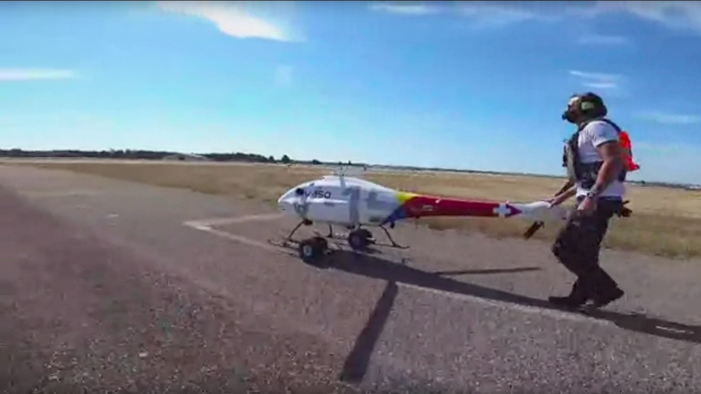
The flight test campaign on satellite procedures tested the application of civil aviation flight procedures also by using a Swiss UMS Skeldar drone, so to demonstrate their integration in an airport environment and the benefits obtained from the exploitation of the European GNSS systems EGNOS and Galileo.
To monitor GNSS signal quality, Planetek Italia has tested a radiofrequency spectrum monitoring system at airports, which could improve the safety and security of UAS operations.
Thanks to the ECARO project, it was demonstrated that the European GNSS systems (EGNOS and Galileo), in addition to GPS, are capable of ensuring drones to perform safe satellite-based approach procedures, a capability required to include and integrate drones in controlled airspace.
Copia qui lo "short link" a questo articolo
www.geoforall.it/{sh404sef_shurl}
